Washington spent thirty-six years as a territory before Congress finally granted statehood in 1889. This in-between space lasted longer than almost any other territory in the country, and that wasn’t an accident.
Robert Ficken makes the case in Washington Territory: for most of those thirty-six years, the place didn’t function as one territory at all. The Cascades split it into two economies, two identities that barely spoke to each other.
Western Washington ran on San Francisco capital and San Francisco trade.
Eastern Washington answered to Portland, making it effectively an arm of eastern Oregon. It moved its wheat through Portland, took whatever price Portland offered.
What the territory lacked wasn’t ambition. It was a spine, some internal run of track solid enough to bind two halves that had never had much reason to look at each other. Only when railroads finally punched through the mountains and bridged the Columbia in the mid-1880s, threading one economy into the other for the first time, did the territory start acting like a single place.
Before statehood, Washington was not free. Territorial residents had almost no say in their own government. The delegate they sent to Congress couldn’t vote, and they still paid federal taxes and lived under federal law anyway, the exact arrangement that had fueled a revolution a century before. Even their governor and judges came from Washington, D.C., appointed as political rewards to men who’d rarely set foot in the West, who knew little about the place they’d been sent to run. They often left the moment something better came along.
For decades, the only real route between eastern Washington and the coast ran down the Columbia River, and Portland controlled it. It set the rates. It picked the terminals. The Oregon Railway and Navigation Company charged whatever it wanted to move wheat and goods out of the Inland Empire, and that turned eastern Washington into less of a neighbor and more of a captive market. If you grew wheat near Walla Walla or Spokane, Portland decided what you’d earn for it.
Frustrated by a decade of asking and getting nowhere, Washington’s non-voting congressional delegate asked Congress in 1877 for an “enabling act,” permission for the territory to write its own state constitution. Congress didn’t answer. So Washingtonians stopped waiting for permission. They elected delegates and sent them to Walla Walla in June of 1878, where the group spent forty days writing a constitution of their own, official blessing or not.
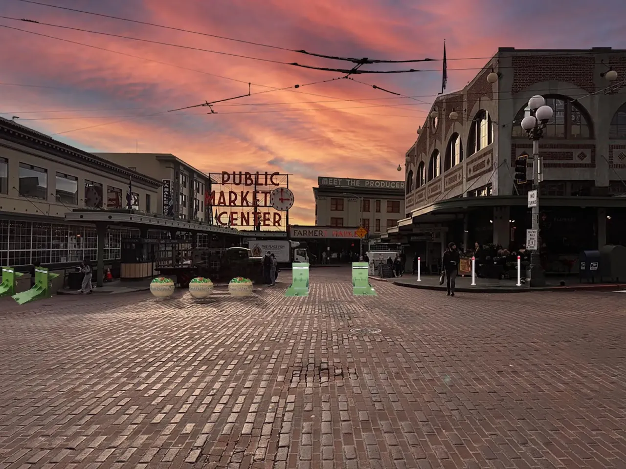
The choice of Walla Walla wasn’t random. It was the biggest city in the territory at the time, built on the wheat boom rolling across the Palouse, and picking it was a deliberate answer to the very split Ficken writes about, a way of telling eastern Washington it mattered just as much as the coast did. The delegates cared enough about healing that divide that they even invited northern Idaho to send a delegate, hoping to fold the Panhandle into the new state. Northern Idaho had more in common with Walla Walla and Spokane than with Boise. Its wheat and timber flowed toward the same captive Columbia River corridor as everyone else’s in eastern Washington.
You can almost imagine different state lines that would have produced states earlier. If western Washington had split and eastern Washington and northern Idaho joined, these states might have made it into the union faster.
What the delegates at Walla Walla proposed makes sense once you remember the timing. This was before the Northern Pacific had finished its transcontinental line, while the Portland monopoly still had its foot on eastern Washington’s neck, while outside corporate power was still, plain and simple, the enemy. The 1878 constitution came out swinging. It capped freight rates, blocked corporations from meddling in local politics, and went after the Columbia River monopolists’ grip on local farmers piece by piece.
Voters loved it. In November of 1878, they approved the constitution by better than two to one, 6,537 in favor against 3,236 opposed. Then they sent it off to Washington, D.C., and Congress just ignored it. Nobody in D.C. wanted to admit a territory that heavily Republican, especially not one trying to rewrite corporate law and redraw the borders of two other territories in the same document. The bill died quietly. The 1878 constitution never became law. It just sat there for eleven years, a preview of an argument Washington would have to have all over again.
What finally broke Portland and San Francisco’s grip was a bigger outside power. Congress had chartered the Northern Pacific Railroad back in 1864, but its headquarters was in New York, and its money came from Wall Street, first from Jay Cooke, later from Henry Villard and J.P. Morgan. When the NP finally built its line west, it wasn’t doing Washington Territory any favors. It was chasing profit, and Congress had handed it a massive incentive to do so, alternating sections of public land stretching forty miles deep on either side of the tracks, millions of acres of Washington timber and farmland, all of it controlled from New York. Because the NP owned the land and picked the route, it could make or break entire towns. Instead of routing its saltwater terminus through an established city like Olympia or Seattle, the railroad built its own town from scratch at New Tacoma, simply because it already owned every lot there.
By the time seventy-five delegates gathered in Olympia on July 4, 1889, they’d already watched the Northern Pacific spend a few years transforming the territory, laying track, pulling in settlers, building the very economic case that finally convinced Congress statehood made sense. The irony was hard to miss. The delegates weren’t grateful. They were nervous. They’d just watched one outside monopoly get smashed by an even bigger one, and now that bigger one owned a huge share of the state they were about to create.
That nervousness is the whole reason Article XII of the Washington Constitution, titled “Corporations Other Than Municipal,” turned into one of the most heavily fought sections in the entire document. It reads less like ordinary legal boilerplate and more like a list of grievances.
Section 1 barred the legislature from ever again handing a company like the Northern Pacific a custom charter loaded with special privileges, the way corrupt territorial legislatures once had, and it kept the legislature’s right to amend or revoke any charter whenever it wanted. Section 7 went after the “foreign corporation” problem directly, meaning any company headquartered outside Washington, and made it illegal for one of those companies to get better treatment in the state than a homegrown competitor. Sections 13 through 22 read like eastern Washington’s wheat farmers dictated them personally. Railroads became “public highways” under the new constitution, and railroad companies became “common carriers,” language that put them under strict state regulation. Discriminatory freight rates got banned outright, so a railroad couldn’t quietly charge a small farmer more per mile than a big shipper, or punish a town that had crossed it. Pooling, the practice of supposedly competing lines secretly agreeing to fix prices instead of actually competing, got prohibited too.
None of it was as radical as it could have been. Corporate lobbyists worked the halls of the old wooden capitol all that summer, and some of the sharper teeth from the 1878 draft, personal liability for corporate directors chief among them, got filed down before the final vote. Washington still needed East Coast capital to keep building, and the framers knew it.
Line the two constitutions up next to each other and they tell a single story in two acts. The 1878 constitution was written by people with nothing left to lose, before the Northern Pacific had finished a single mile of track, while Portland was still the only monopoly in the room and outside corporate power was simply the enemy, full stop. Congress killed it without a second thought. The 1889 constitution was written by people who’d already made the deal. They’d already watched the Northern Pacific break Portland’s grip, already build the towns, already decide who got a station and who didn’t. Statehood only became possible because Washington accepted that bargain. Article XII wasn’t an attempt to refuse the deal. It was an attempt to survive it, a leash written into the state’s founding document for a monster the state had already let across the threshold.
That’s the same trick the country pulled a century earlier, played out on a smaller stage. Franklin didn’t go to Paris because he loved the French monarchy. He went because Britain wasn’t going anywhere without a bigger power tipping the scales, and France had its own reasons to want London humbled. The alliance worked, and it also became something the young United States spent years trying to wriggle back out of. Within a decade, Washington’s own Farewell Address was warning the country against permanent foreign entanglements, and by the end of the 1790s the alliance with France had curdled into an undeclared war at sea. The country used France to win its independence, then spent a generation making sure France couldn’t collect on the debt. Washington Territory ran the same play on a faster clock. It used the Northern Pacific to win its independence from Portland and Washington DC, then wrote Article XII that same year, not a decade later, to make sure the Northern Pacific couldn’t collect either.
Self-governance, in both cases, was never a clean break. It was a deal cut by whoever held the leverage to cut it, followed almost immediately by a second deal meant to limit the first. Washington’s framers understood that as well as anyone in Philadelphia or Paris ever did. They just wrote their version into Article XII instead of a treaty. That’s worth remembering every Fourth of July in Washington.
We mark our statehood that got bought and paid for, same as the revolution they’re meant to echo. Both times, the generation that cut the deal spent its very next act making sure that deal couldn’t turn around and own them.